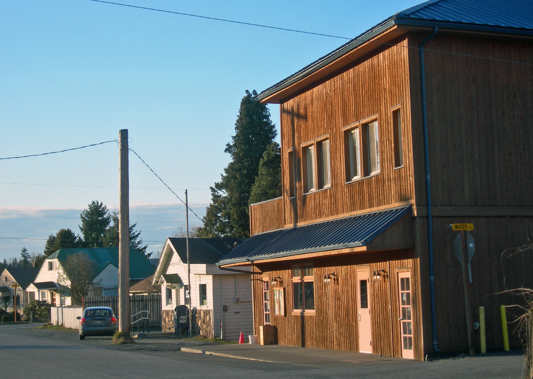
End of business district into the residential area of Deming. 2009 Photo.
Deming is a census-designated place in Whatcom County, Washington, United States. The population was 353 at the 2010 census. The community population was 353 at the 2010 census. It is the home of the tribal government offices for the Nooksack Tribe.
The town is dominated by the Mount Baker Junior High School on the east end of town, followed by some businesses along the Mount Baker Highway. A small residential area is cluster between the school and the tribal casino at the west end of town.
History[]
The community is named for its first postmaster, George Deming.
Geography[]
Deming is located about 16.3 miles east from the county seat, Bellingham. It is situated within the 2500-acre Nooksack Indian Reservation. Nugents Corner and Cedarville are located west of town, Welcome to the northeast, and Van Zandt to the south.
Deming is located at 48°49′47″N 122°13′47″W (48.829802, -122.229832).
According to the United States Census Bureau, the CDP has a total area of 5.4 square miles (13.9 km²), of which, 5.2 square miles (13.5 km²) of it is land and 0.1 square miles (0.3 km²) of it (2.24%) is water.
Demographics[]
The median income for a household in the CDP was $52,292, and the median income for a family was $58,194 as of 2000. Males had a median income of $27,292 versus $24,750 for females. The per capita income for the CDP was $18,165. None of the population or families were below the poverty line.
Government[]
The community is home to the tribal government offices of the federally recognized Nooksack Tribe and is situated within the tribe's 2500-acre Nooksack Indian Reservation.
The Nooksack Tribal Police Department is located in town.
Media[]
Deming has its own local radio station, which has a receiving radius of about 15 miles.
- KAVZ-LP 102.5 FM.