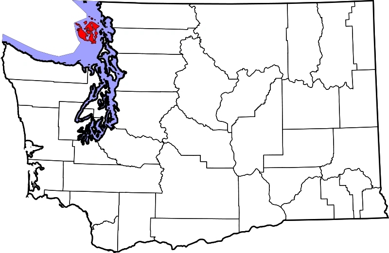
San Juan Islands map.
The San Juan Islands are an archipelago in the northwest corner of Washington. They are between the U.S. mainland and Vancouver Island, British Columbia. The San Juan Islands are part of San Juan County, Washington.
In the archipelago, four islands are accessible by passenger ferry operated by the Washington State Ferries system.
History[]
Archaeologists use the term "Gulf of Georgia Culture Area" to refer to the San Juan and Gulf Islands, the whole of which shows many archaeological commonalities. The San Juan Islands were part of the traditional area of various peoples of the Coast Salish ethnolinguistic group. Linguistically, Coast Salish groups in the area consist of the Nooksack, Northern Straits (which includes the Lummi, Klallam, Saanich, Samish and Songhees dialects). Exploration and settlement by Europeans brought smallpox to the area by the 1770s.
The explorations of 1791 were carried out in partnership with the Royal Navy ships under the command of George Vancouver, while American explorations were led by Charles Wilkes. Despite having colonized the area entirely, the British and Americans retained many of the Spanish names which survive today.
The name "San Juan" was given to the islands by the Spanish explorer Francisco de Eliza, who charted the islands in 1791, naming them Isla y Archiepelago de San Juan. The expedition sailed under the authority of the Viceroy of Mexico, Juan Vicente de Güemes Padilla Horcasitas y Aguayo, 2nd Count of Revillagigedo and Eliza named several places for him, including the San Juan Islands, Orcas Island (short for "Horcasitas") and Guemes Island. San Juan Island's first European discoverer was one of the officers under Eliza's command, Gonzalo López de Haro, for whom Haro Strait is named. The Spanish had found the islands a year earlier during the exploring voyage of Manuel Quimper on the Princesa Real, but it was not clear to them that they were islands.
Vancouver's expedition occurred within a year of Eliza's, and Vancouver encountered other Spanish ships and traded information. Thus Vancouver knew of the names given by Eliza's expedition and tended to keep them, although he renamed some features, like the Strait of Georgia. Wilkes, sailing in 1841, had some British charts, but may not have been aware of the Spanish names and charts. He liberally gave new names to nearly every coastal feature not already named on the charts he had. The names that Wilkes gave tended to be patriotically American (heroes of the War of 1812 for example), or to honor members of his crew.
In 1847, due to the confusion of multiple names on different charts, the British Admiralty reorganized the official charts of the region. The project, led by Henry Kellett, applied only to British territory, which at the time included the San Juan Islands, but not Puget Sound. Kellett systematically kept the British and Spanish names and removed nearly all of Wilkes' names. In some cases Kellett moved Spanish names around to replace names given by Wilkes. Thus, in Puget Sound, the names given by Wilkes are common and Spanish names rare, while the reverse is true for the San Juan and Gulf Islands, although the Spanish did not explore Puget Sound as thoroughly as the British and Americans, resulting in fewer Spanish names at the outset. Wilkes had given the name Navy Archipelago to the San Juan Islands, and named individual islands for distinguished officers of the US Navy, such as Rodgers Island for San Juan Island, and Hull Island for Orcas Island. Some of his names survived the editing of Kellett, such as Chauncey, Shaw, Decatur, Jones, Blakely, Perry, Sinclair, Lawrence, Gordon, and Percival, all named after American naval officers.